
There are some fascinating, remote and difficult to get to places in the world that we have been so fortunate to go to. It feels like such a privilege that I can share a little about them. When I am at home living my life in Winnipeg I forget how big and fascinating and unimaginable this earth really is!
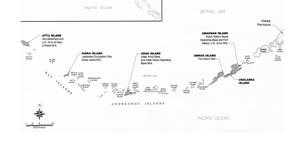
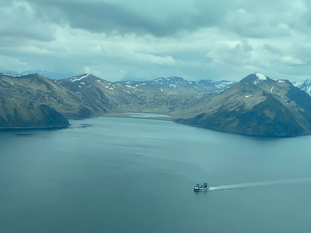
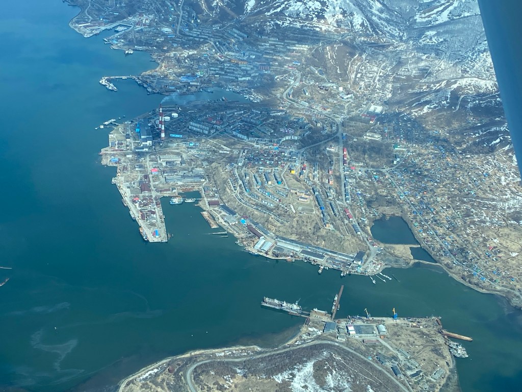
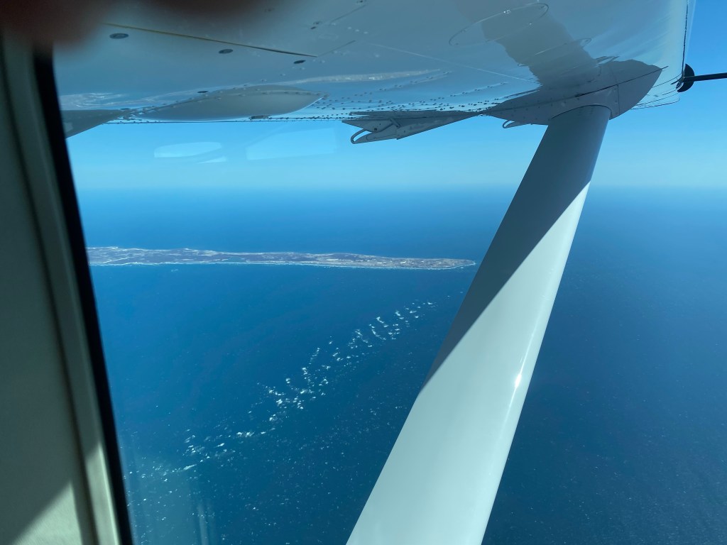
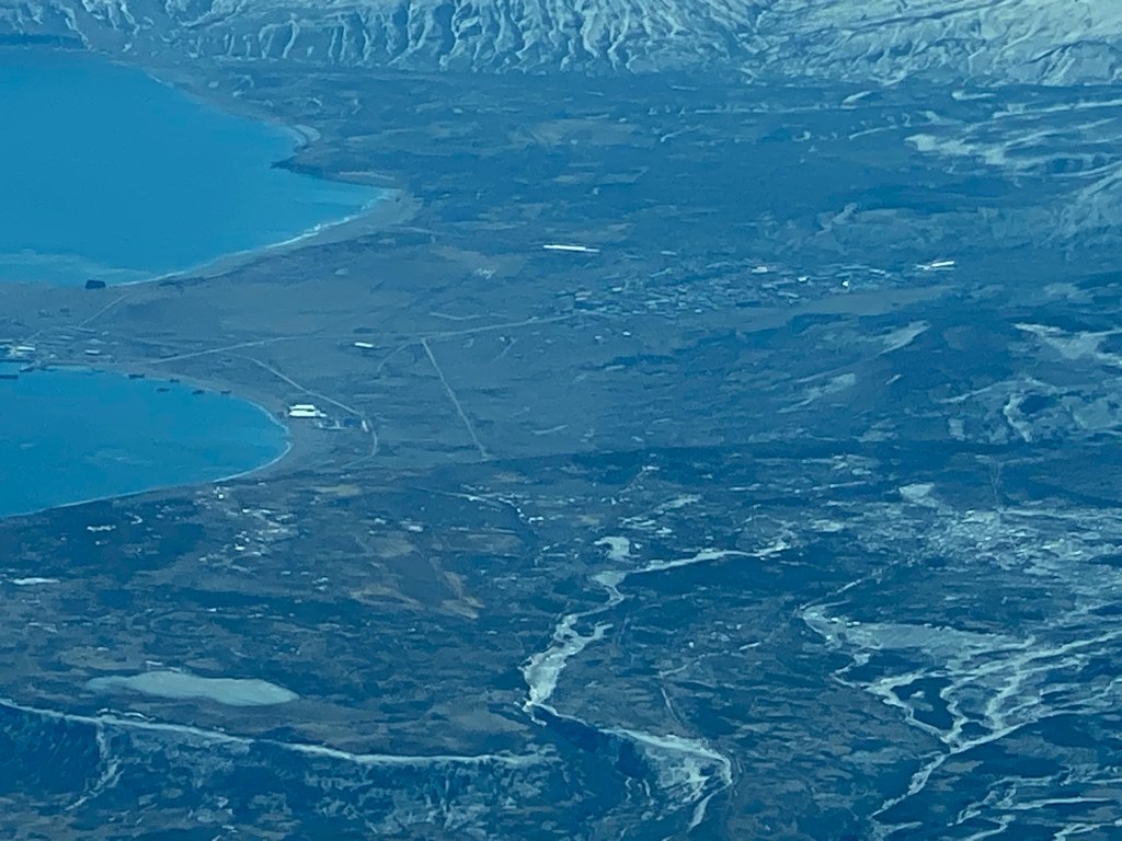
This remote place comes with such a rich history and landscape. Unalaska is part of the 1,100 mile volcanic archipelago that curves in a westward arc. I read that Unalaska features one of the harshest environments on the planet- outside the polar regions. They have some great names given as a result. Their hurricane force winds, heavy rain and dense fog earns them the titles “Cradle of Storms” and “Birthplace of Winds “ Their geography and being one of the most seismically active places in the world places them at the northern part of the “Ring of Fire”.
This harsh, remote place carries such an interesting history. I hope it’s okay if I go on a bit.
The Aleuts or Unangax have lived in the archipelago for around 9000 years. Interesting fun fact – the visor hat (the one tennis players wear) came from the visors worn by the Aleuts
After 1741 the Danish explorer Vitus Bering and his Russian colleague Alexei Chirikou came and brought with them waves of Russian fur traders to hunt sea otters and seals and this became a Russian colony.
The first invasion of US soil since 1812 occurred in Unalaska on June 3-4,1942 when two Japanese aircraft attacked Dutch Harbour killing 50 people. Within months of the attack 145,000 US and Canadian soldiers were deployed to the Aleutians. The battles that were fought are largely forgotten and yet thousands died on both sides – many from exposure to the harsh climate.
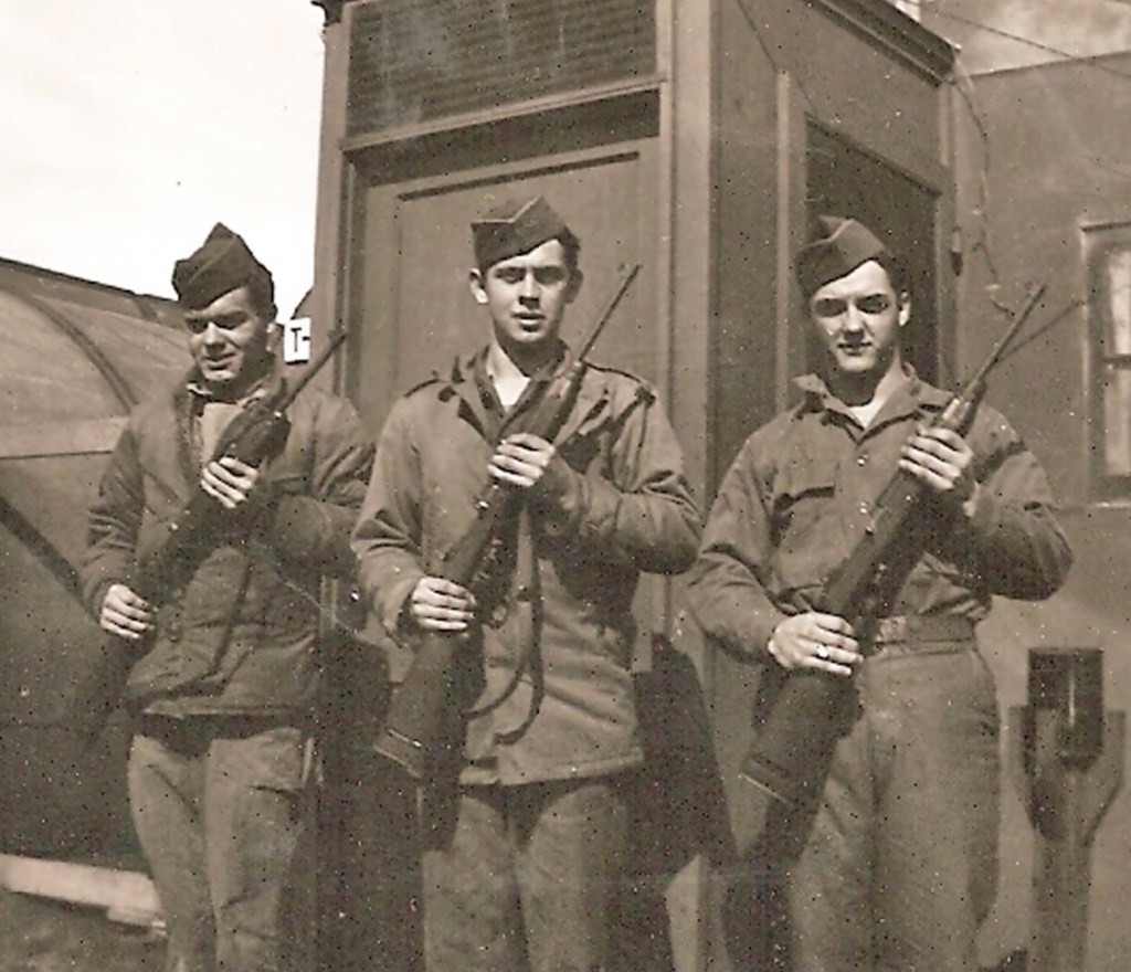
In 1943 the Japanese were expelled from the Aleutians.

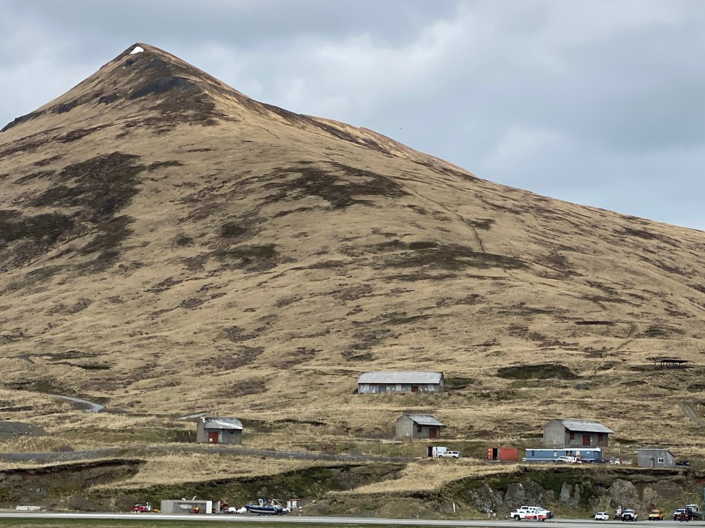
Unalaska is a hub of US commercial fishing – Dutch Harbour brings in more seafood than any other US port- halibut, salmon, herring and crab.
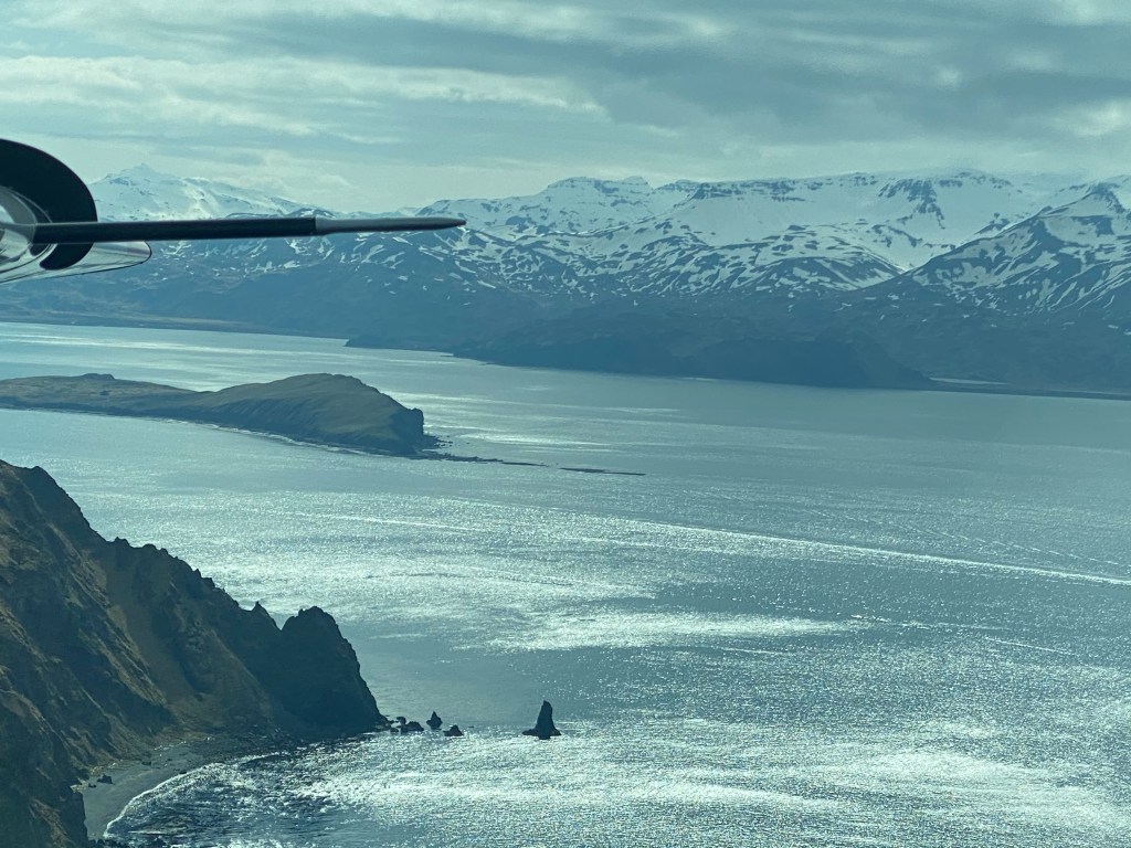
These waters have one of the world’s largest concentrations of marine animals in the world- orcas, porpoises, sea otters, seals and whales (humpback, pilot and fin) and the coastline has the largest nesting seabird population of the US combined.
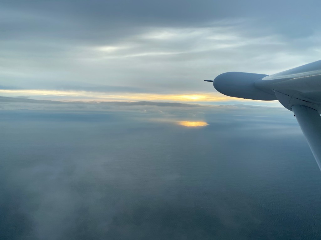
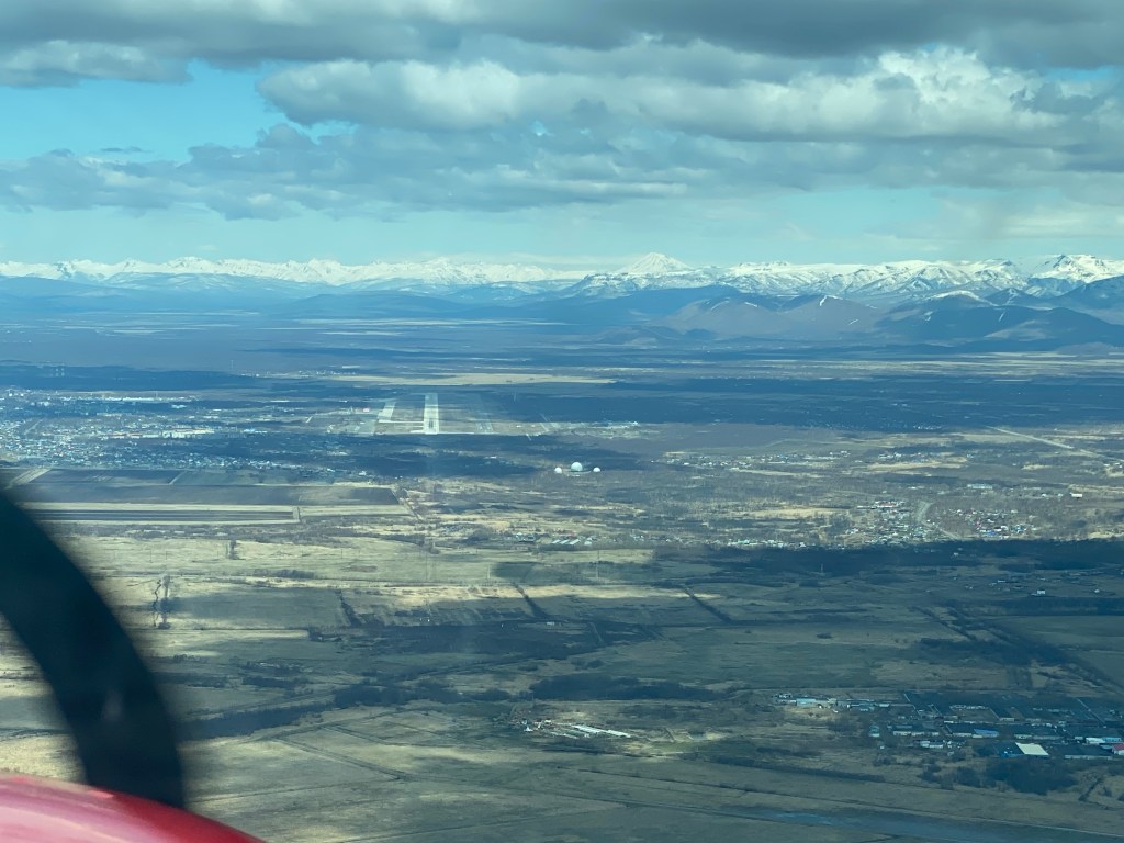
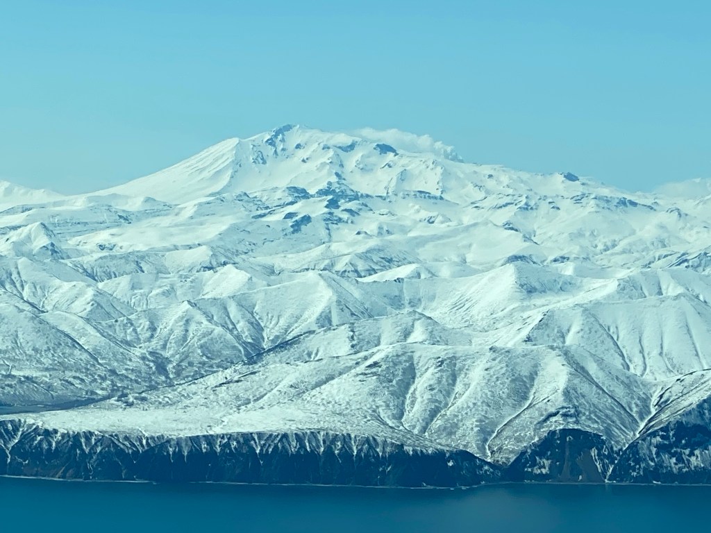
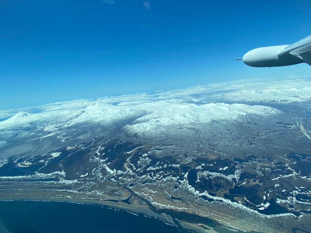
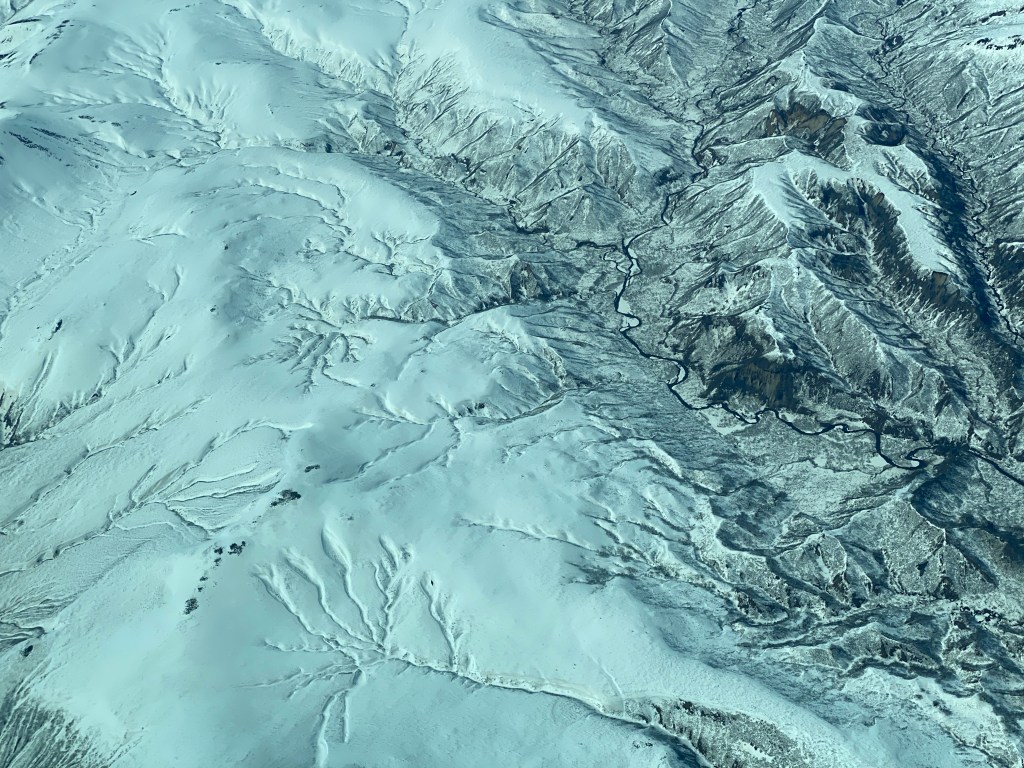
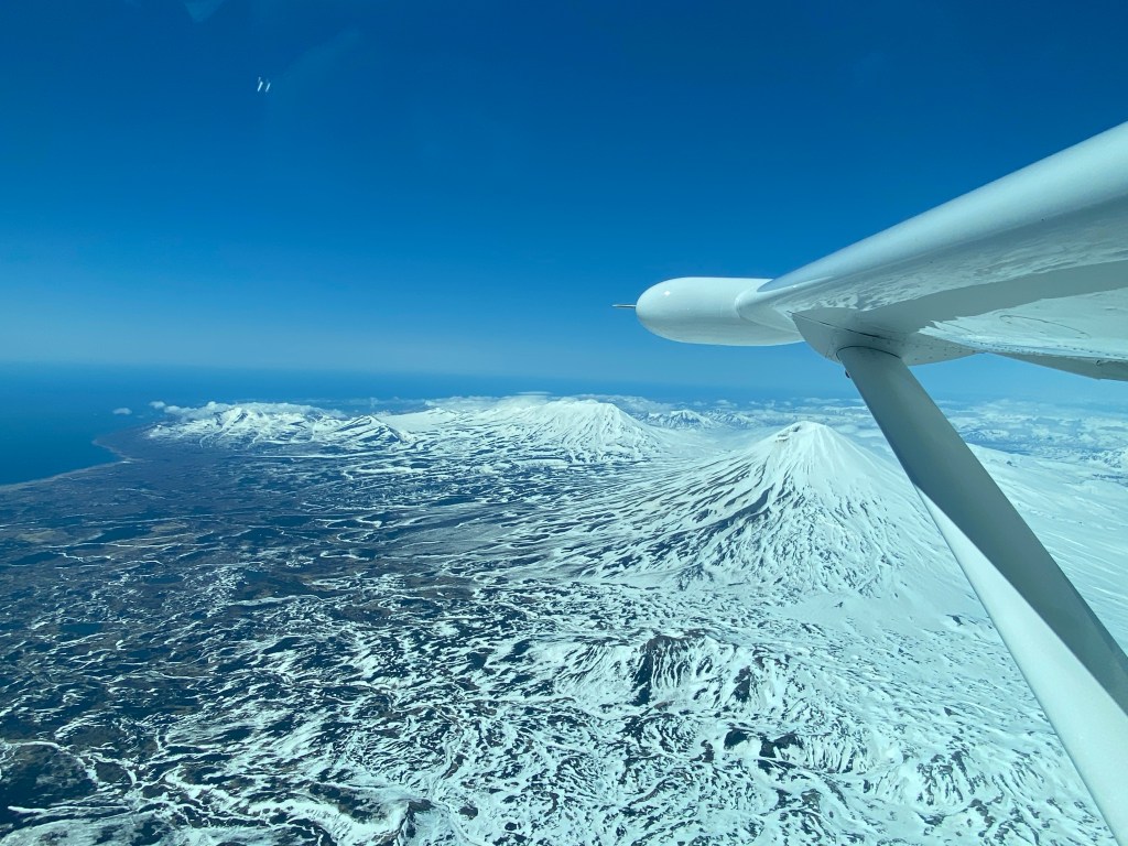
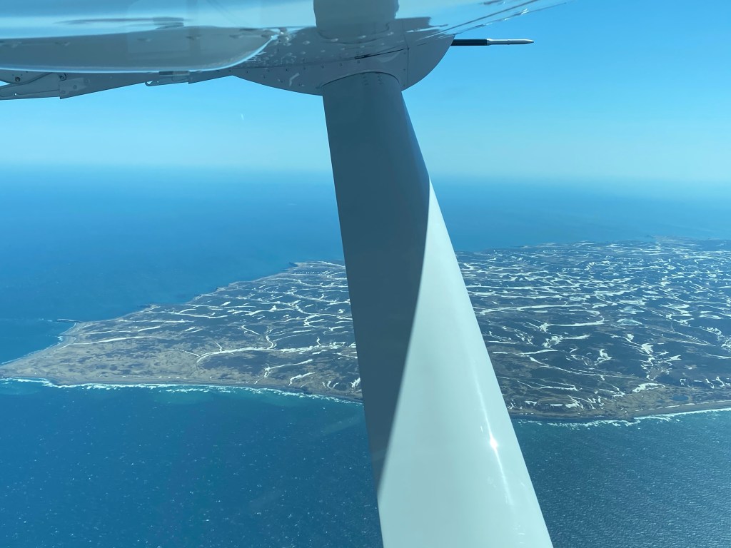
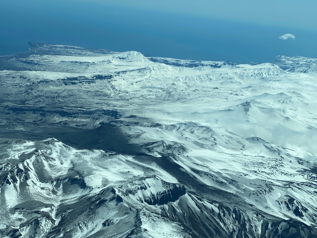
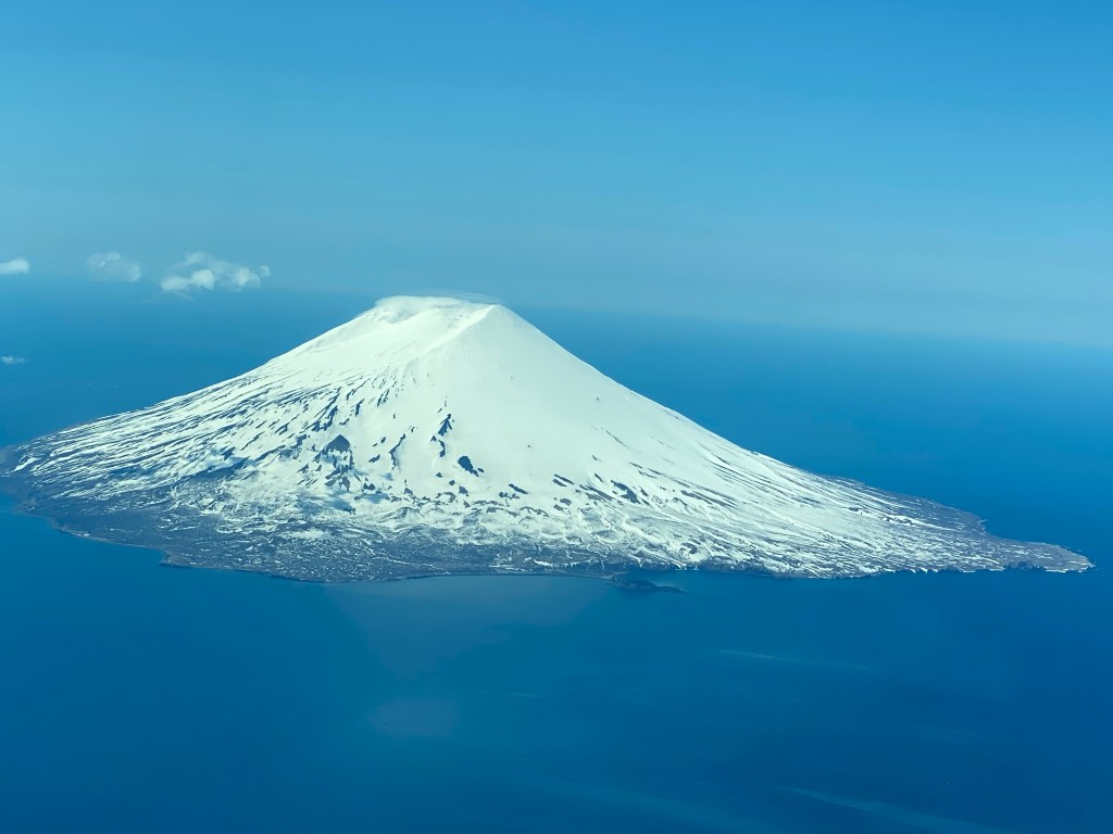
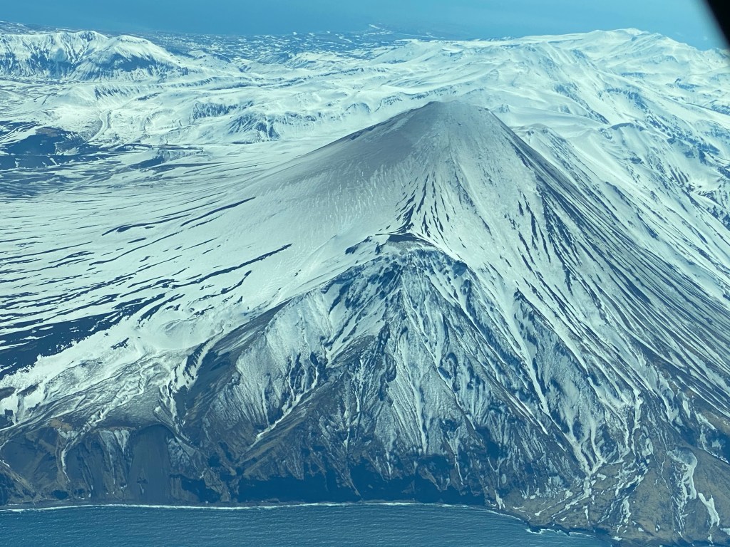
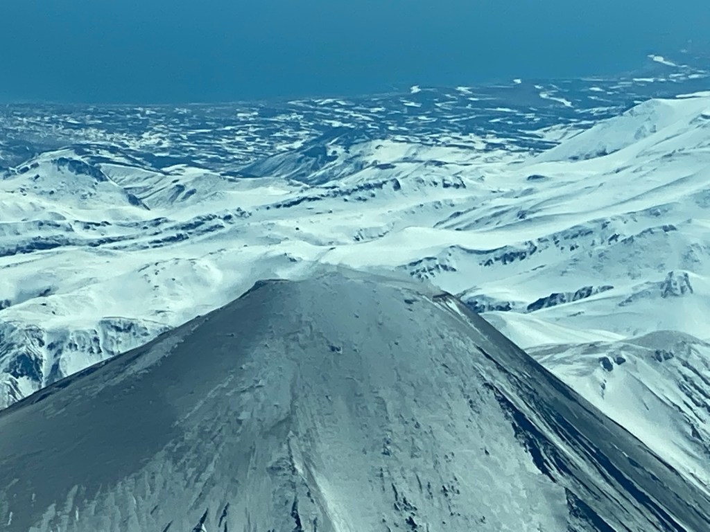
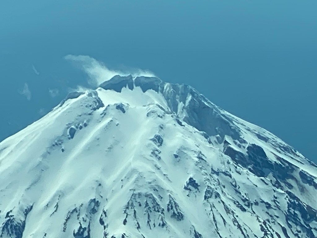
We flew the 8 hour flight across the Pacific above the clouds until we reached the coast of Kamchatka Peninsula
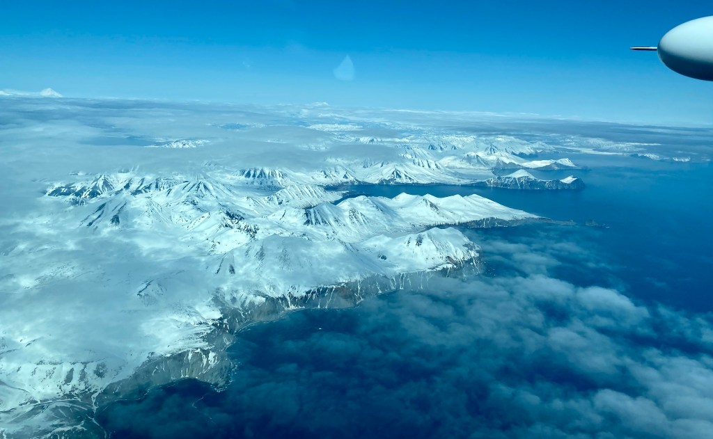
I thought about those Russian explorers- Vitus Bering and others- on the flight we took today. This would have been the same route they would have taken. A time when not only did they sail from here in a ship across the rough and cold Bering Sea – they first had to build a ship- and before that – they had to haul all the materials from St Petersburg to here to build a ship – to this place – a place that to this day does not have a road that leads out of the peninsula- but as you can see from the pictures- a whole lot of mountains and volcanoes. Oh what a hardy and determined bunch!
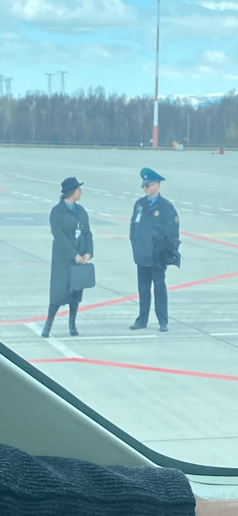
It was a quick turnaround and this time they had a bus waiting to take us to the toilet 😊

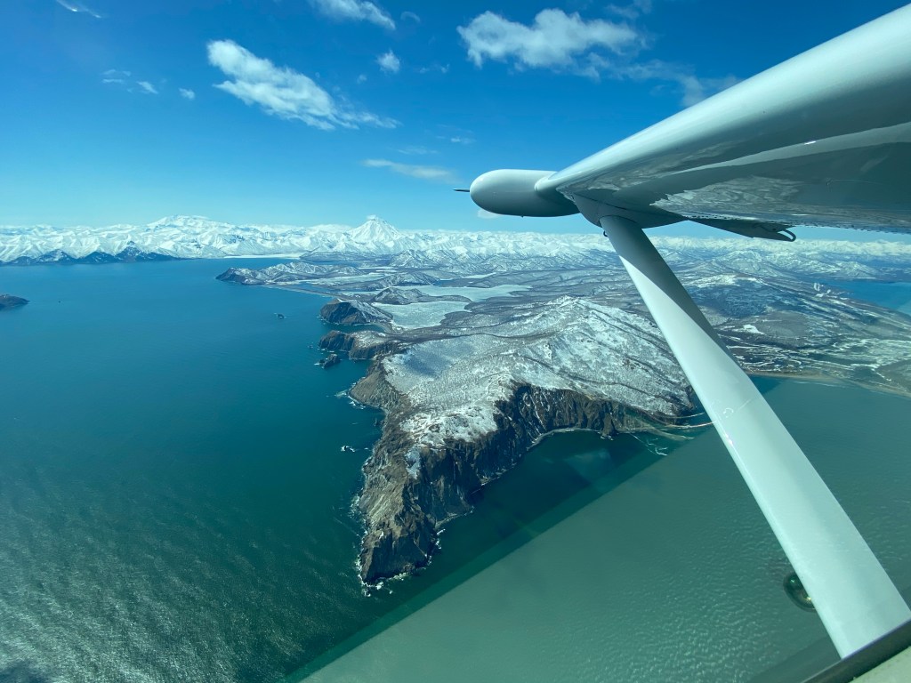

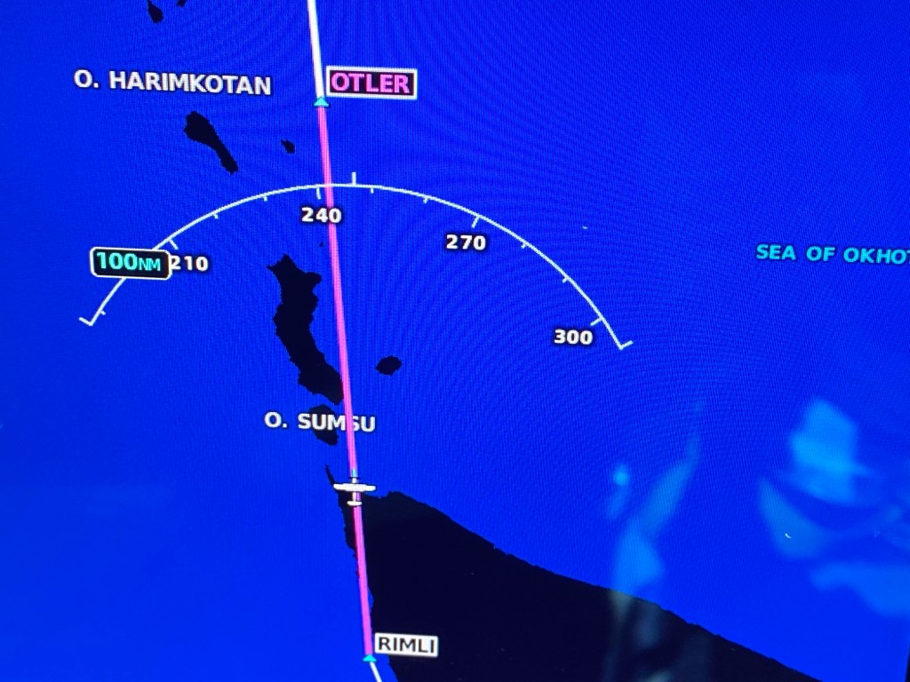
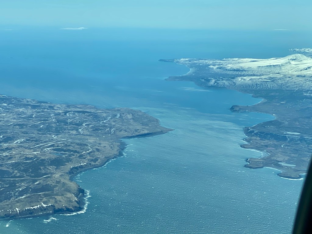
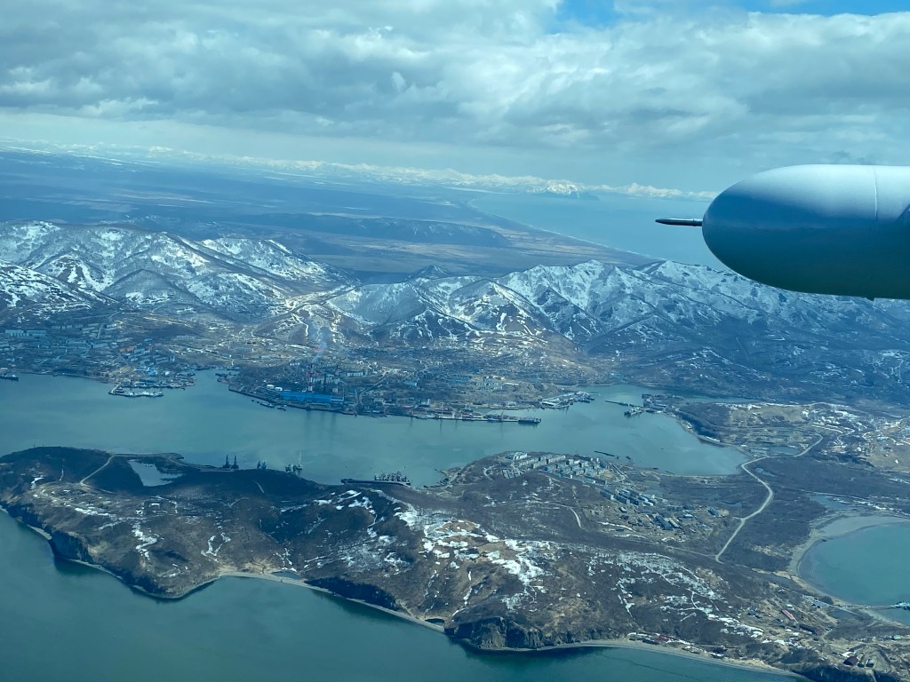
The Kuril Islands are part of the Ring of Fire and contain at least 100 volcanoes- 35 which are active total of 55 islands Earthquakes and Tidal waves are common here. The only significant commerce here is fishing crab.

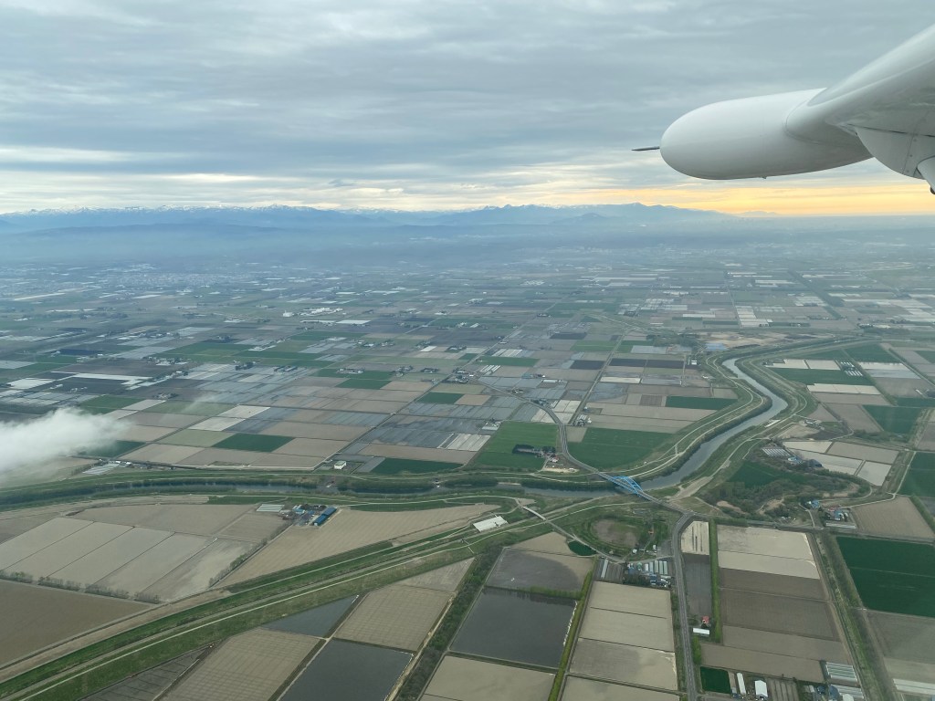
Clouds and headwinds all the way to Japan. Got to the airport at 6:30 am in Alaska- arrived at 5 pm in Japan and was en route for 18 hours!

beautiful pictures, really appreciate the history ! what a marvelous world
LikeLike