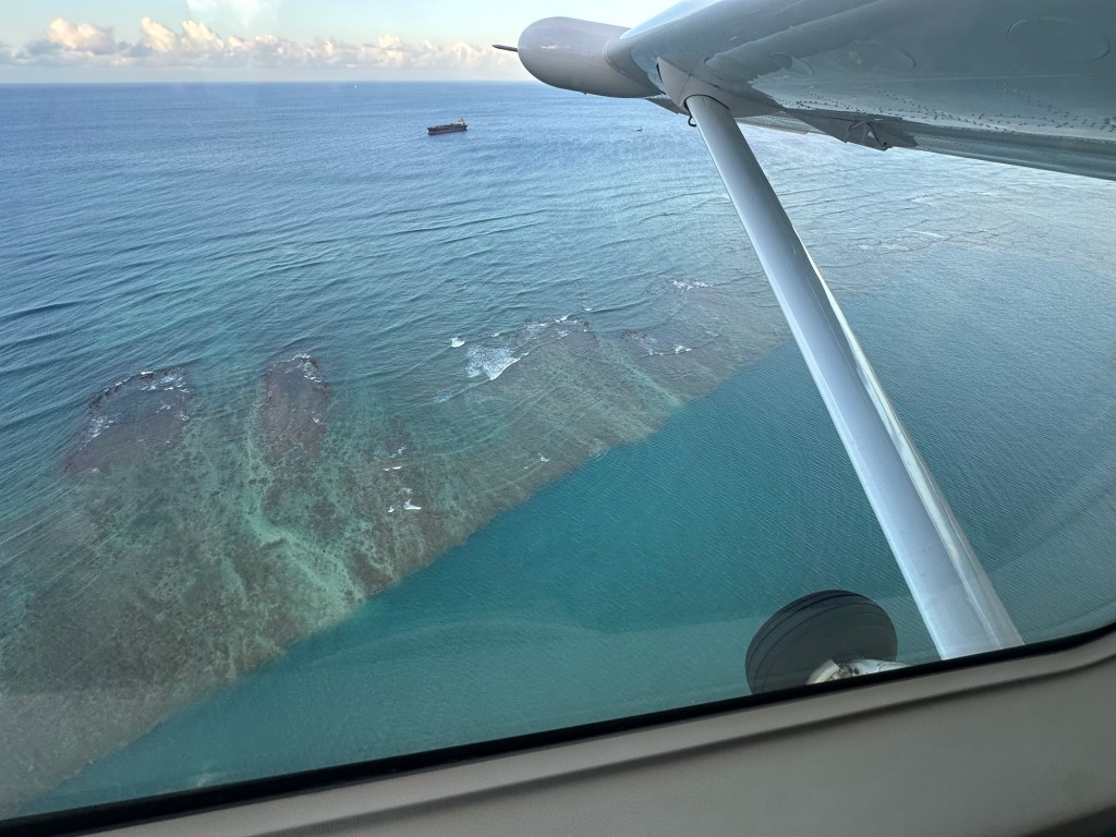
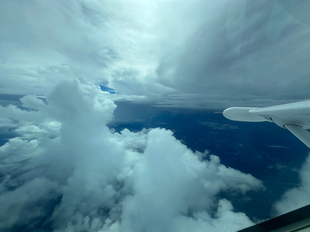
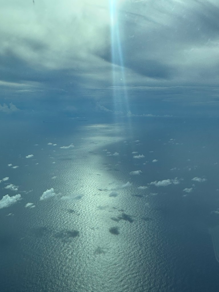
Long long flight over the Pacific Ocean today.
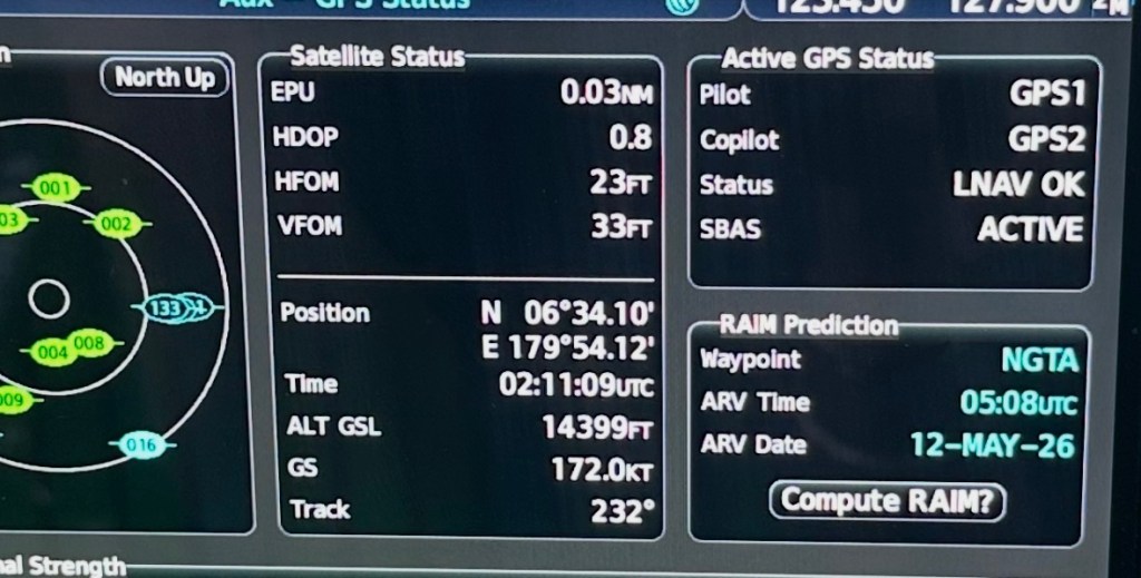
12 hours and 45 minutes
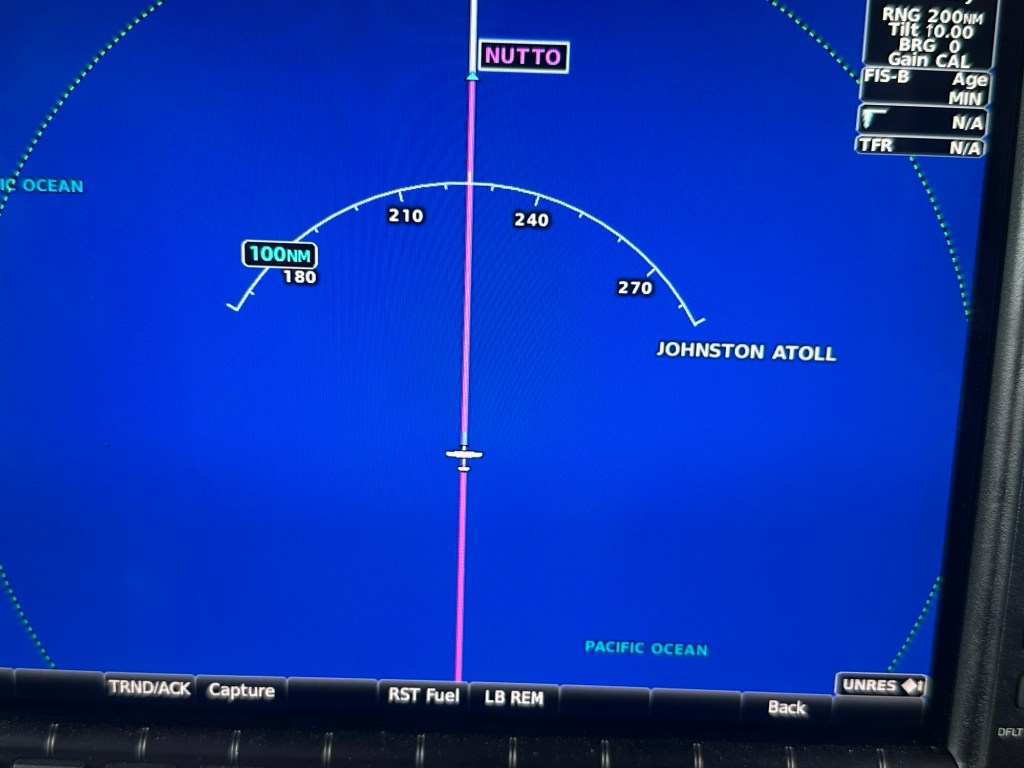
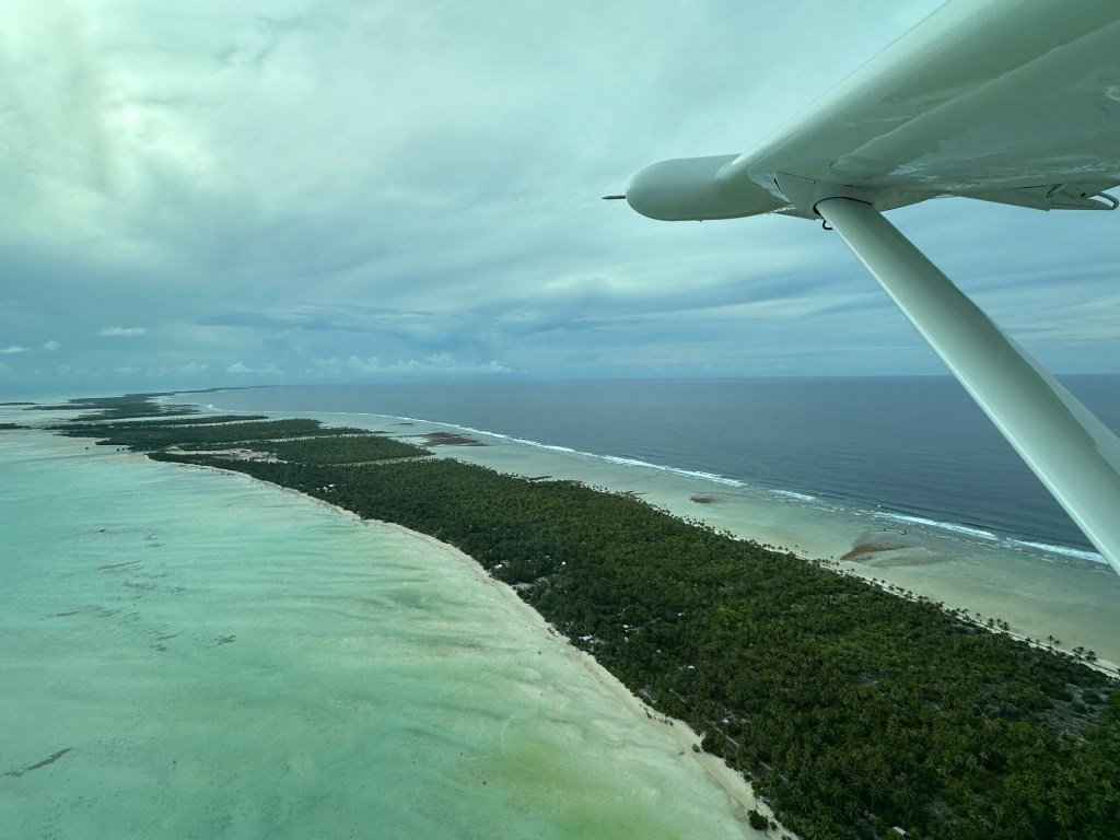
There is not much land between Tarawa and Honolulu. Not much indeed.
The only piece of land is a fascinating little place called Johnston’s atoll which was about 100 miles off our route.
A number of years ago – when we were ferrying a plane to Australia and going via Marshall Islands we flew over it and I got some great shots.
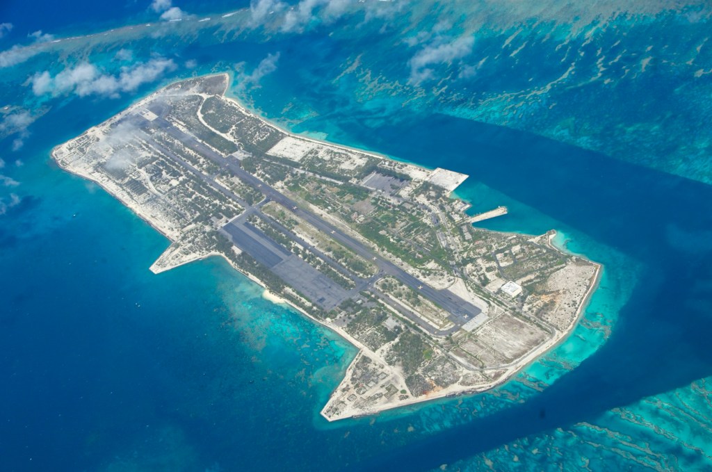
Only later that evening as I was trying to find out some more information about it did I learn about its history.
This island is actually closed to public entry and is highly restricted and unauthorized access to the island or surrounding waters is prohibited. However, you can land for extreme – life threatening emergencies. During the 50’s and 60’s it was a major hub for atmospheric nuclear testing and high- altitude rocket launches.
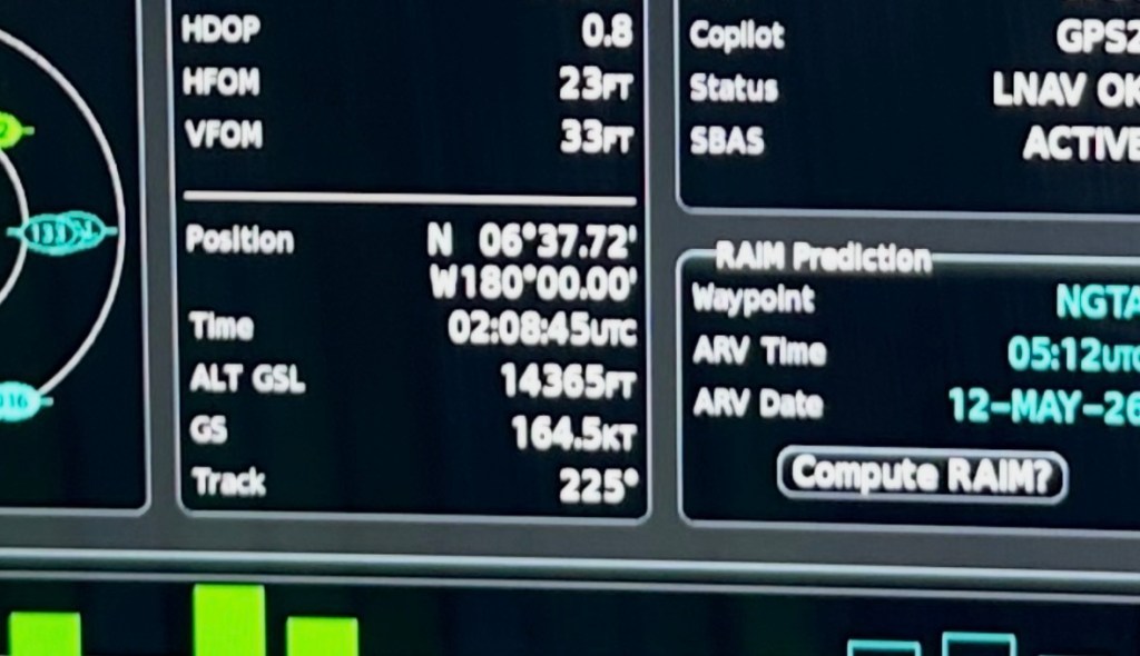
Another interesting note in our flight today is that we flew over the 180 Meridian – the longitude line located exactly halfway around the world dividing east and west – and we changed a day from May 11 to May 12 in a moment!
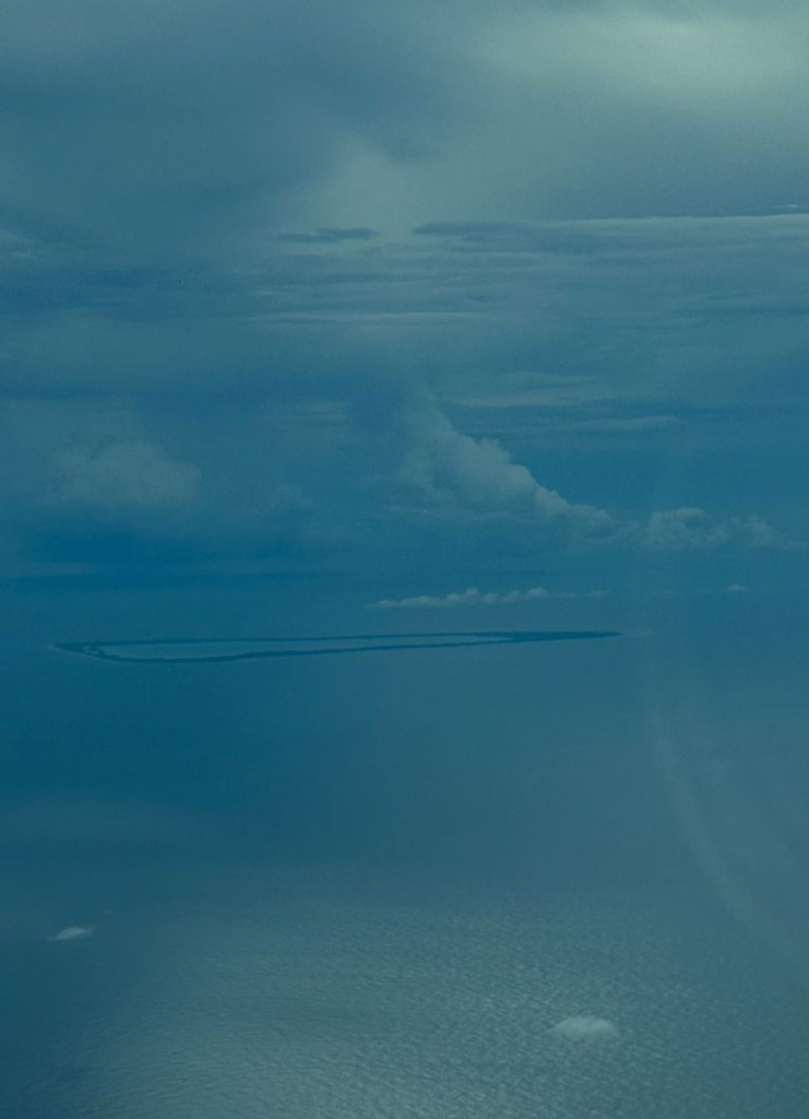
An atoll is a ring-shaped coral reef, island that encircles a lagoon. They are usually formed atop sinking volcanic islands.
Tomorrow the plan in to be up early to make sure we we see customs and be off to Solomon Islands.
